
House Number Map
"Want to get there as quickly as possible, even on your first visit?" The ultimate last-mile map that solves the frustrations of inadequate free maps and overpriced residential map apps.
Solving what "Big Firms" cannot. Creating what the Field truly wants.
We address the critical, field-specific challenges that large-scale firms, due to their very position and structure, either cannot or will not tackle. These are often the domains they must ignore, as solving them could disrupt existing markets or cannibalize their own established profit structures. Bound by their scale, such firms are often too slow, forced to pursue only high-margin projects rather than what the field truly needs. Our focus, instead, is on these precise needs for specialized clients around the world.
We achieve multi-person productivity by leveraging LLM, bypassing unnecessary intermediaries—even those considered professionals. This allows us to focus entirely on the challenges that only we can solve.
We build for people who already want to use the tool — not for an audience that has to be persuaded. That focus is what lets a very small operation solve problems far larger than its size: no offices, no sales team, no inventory, no payroll, and therefore no fixed costs to price into the product. We apply the same efficiency to how we reach the market, so what we save goes back into the price and into the value delivered.
Our workflow is LLM-native, achieving superhuman productivity and speed. We focus on delivering results, not on inefficient manual processes.
Built with Claude Code (Anthropic), backed by multiple frontier models
We possess deep, hands-on expertise across two domains: specialized Geospatial & Onsite (Field) challenges, AND the entire IT development lifecycle—from planning and requirements definition through design, development, testing, operation, and maintenance.
Intelligence by: IT Strategist & Project Manager (IPA Certified, Japan)
"Want to get there as quickly as possible, even on your first visit?" The ultimate last-mile map that solves the frustrations of inadequate free maps and overpriced residential map apps.

Elevate Your Manager Skills Instantly! Count Basketball puts pro-level tracking right in your hands. Track points, fouls, and assists effortlessly.

Touches plain HTML and CSS could never deliver, built without a server or a database. Open it and the goalposts in the background photo stand up; a conversion kick sails over the bar, which snaps into place as the headline's underline. A moving border line dissolves — the site's way of saying border-less. One swipe turns one full screen; tap the plane for a tilted map circling every class venue from the air. The existing Instagram and WordPress feed straight into the new interface.

Geo XY Pointer is a high-speed coordinate tracking tool built for field professionals. It instantly displays exact coordinates.
Know when and where satellite geometry (DOP) is good before you go. Plan RTK/PPK survey, drone and GIS sessions on a time-travel DOP map — fully offline.

Turn site "Moments" into organized "Records" instantly. Automates file naming, folder sorting, and tagging the moment you snap the shutter.

The biggest tragedy in photogrammetry is returning to the office only to find that your 3D model failed because the photos didn't overlap enough.

Predicts high/low and spring/neap tides fully offline from official harmonic constants, and overlays sea temperature, currents, waves and chlorophyll-a on the map — the whole marine picture in a single map pin for fishing, fisheries and marine work.

No wiring work required. Even from far away, you can detect bell presses through email alerts or webhook services such as Slack, Microsoft Teams, and Discord. A simple chime for customers and family alike.

Simulates the sun path and shadow direction on a map for a specific place and date.

Point the camera to sample any real-world color as HEX/RGB/HSL/CMYK plus the nearest color name and Munsell notation, with complementary and harmony palettes. Save each color with a location-marked photo and note in folders — fully offline and instant.

Geoid Altimeter is an elevation tracking tool built for field professionals. It applies geoid models to the standard smartphone GPS altitude.
Compare the official JMA forecast and multiple numerical models (GFS, MET Norway, Apple) side by side to spot risk from model disagreement and make on-site Go/No-Go calls fast, with CSV evidence export for clients and contractors.

Turns an iPhone or iPad into a rugged stock scanner that keeps working with no signal at all. Scan barcodes and QR codes back to back, tally quantities entirely offline, and export the result as CSV for your inventory system — built for warehouses, basements and vehicles.

QR Wait Mini is the ultimate lightweight waitlist and paging system. Replace expensive physical pagers with a simple digital solution.

Point the camera down the street and house numbers appear in AR on the buildings themselves. No more looking from map to street and back — the address you need is pinned to the actual door, for deliveries, visits and inspections.
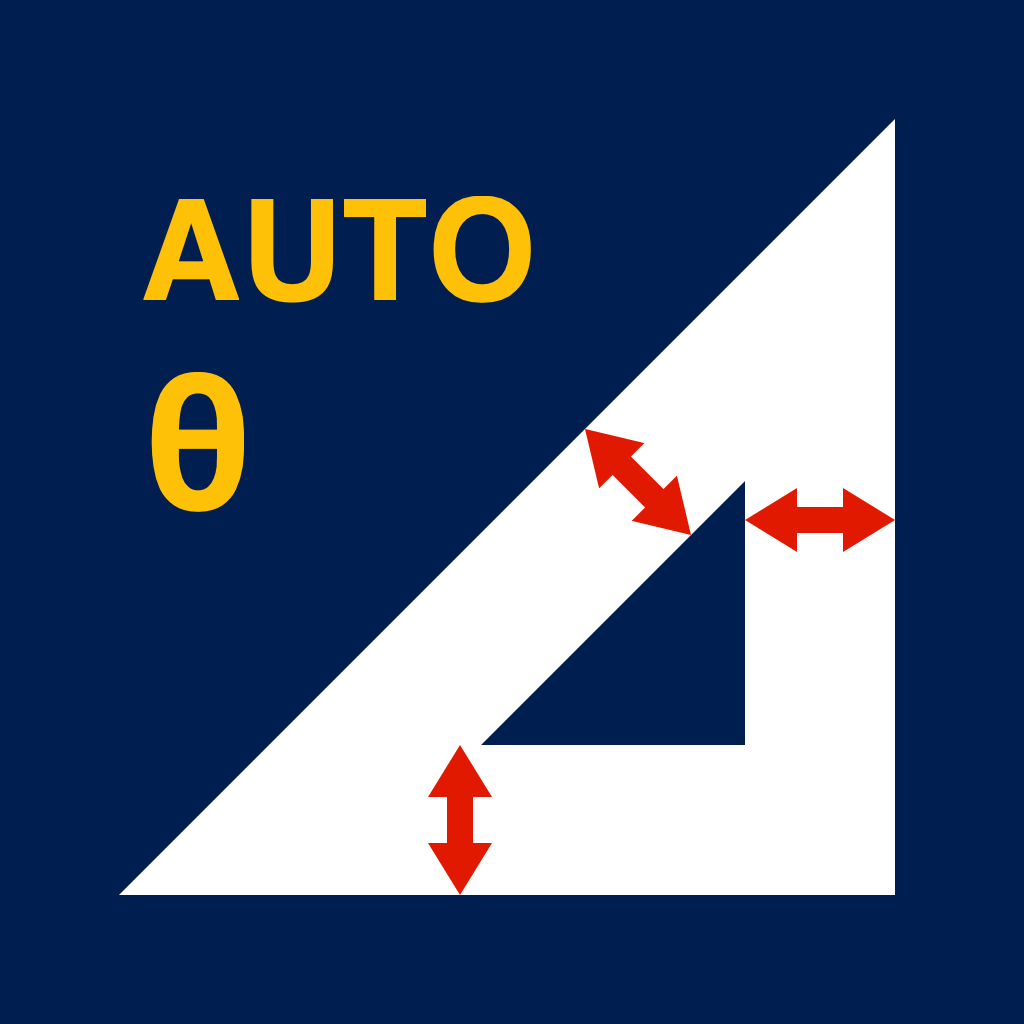
Work out miter and bevel angles for material with real thickness, right on site. Enter the dimensions you know and the rest is solved automatically — edge lengths, miter and saw angles, area and paint volume — then print a true 1:1 PDF template you can cut straight from.

Paste a list of terms and instantly build a flashcard deck with auto-fetched definitions, translations, and pronunciations across 12 languages. SRS spaced repetition and text-to-speech let you skip the prep and focus on memorizing.

Count Rugby puts pro-level tracking right in your hands. Track tries, conversions, and penalty goals effortlessly.

Not even operators can see inside. A secure file transfer app that self-destructs in 5 days for those who value safety.

Capture photos, video and audio into an encrypted, on-device gallery built for NDA and client-confidential work. Nothing syncs to iCloud or your photo library; Face ID is required to view, and each item is deleted when its retention timer expires.

Calculate measurement uncertainty the GUM (ISO/IEC Guide 98-3) way. Evaluate each input quantity as Type A or Type B, apply sensitivity coefficients, and get the combined standard and expanded uncertainty (k=2) with a budget table you can attach straight to a calibration certificate or test report. Built for calibration, ISO/IEC 17025 labs and quality assurance.

Records where a goal kick was taken from, not only whether it went over. Tap the spot on the pitch; distance and the angle the posts subtend are computed, and the outcome goes in with one more tap. A heatmap of success rate by zone, each kicker's strong and weak zones, and which way misses drift. For kickers and coaches, in practice and matches.

Pick the paper size and scale, place a frame on the map, and make roadwork notices, location maps and meeting-point or venue guides. Choose which roads, buildings and landmarks to draw, add pins, text, arrows, photos and hatched areas, and colour individual buildings or roads. Export PDF, images, Excel, Word, PowerPoint, SVG or DXF — split across pages for large prints. Runs in the browser, no account needed.
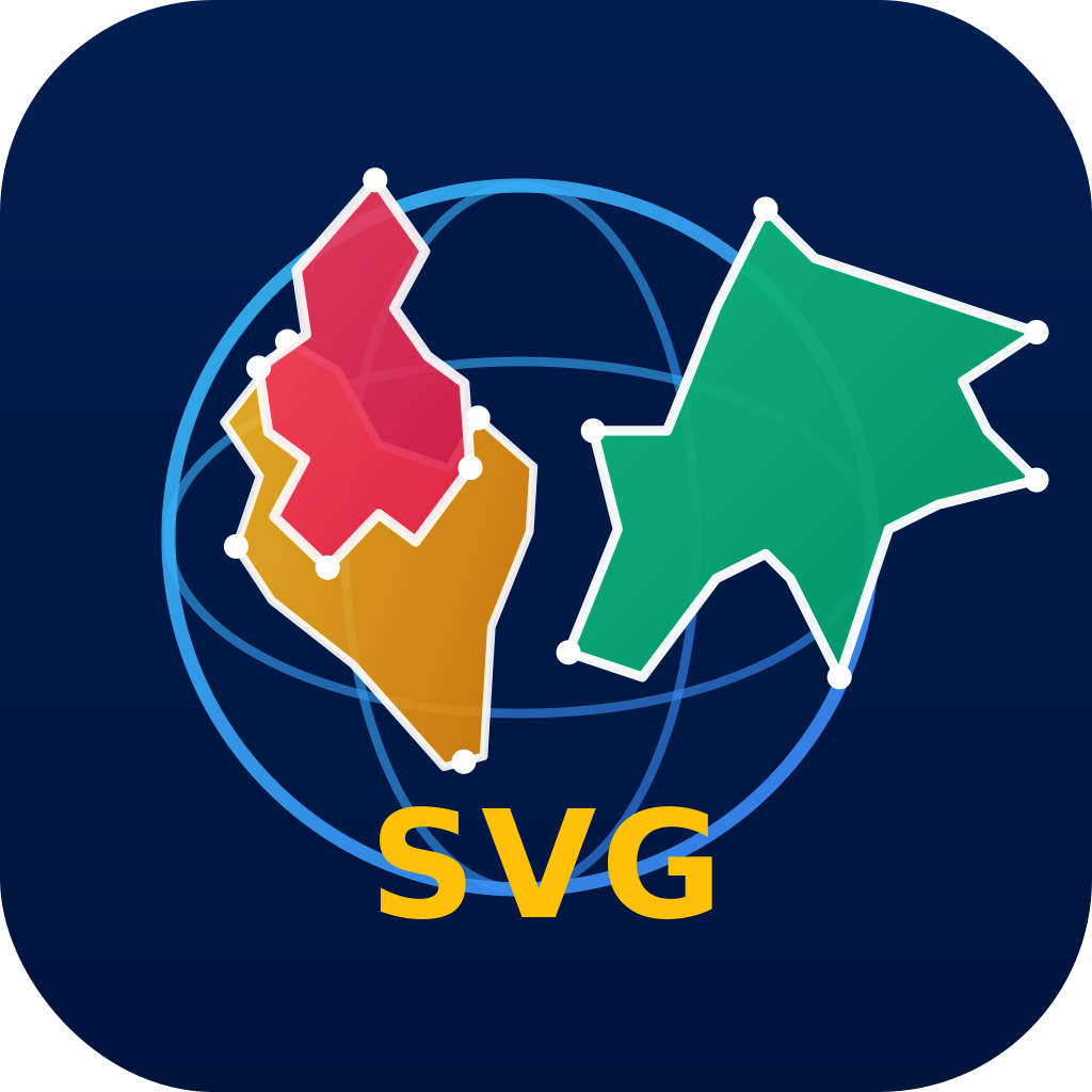
Turn any city, ward, island, lake or region into a precise vector shape in seconds. Get a clean, distortion-free black silhouette clipped to the real coastline, delivered instantly as an editable, watermark-free SVG plus a high-resolution transparent PNG. Available as a web service and as an iOS app.

A shooting log for futsal coaches. Tap the spot on the court, then how the shot ended: two taps per shot. Heatmaps and per-foot success rates show which players finish from where, and with which foot. Also records scrimmage goals and assists, and accumulated fouls in official matches. Several coaches' records merge on one device by QR code, with no account or server.
Note "what is where" on a map and find it again for sure. Long-press anywhere to drop a point and save a photo, title, note, tags, a star rating and the auto-resolved address with it — a location memo pad for site surveys, inspections and field visits.

A fast lost & found ledger for stores and facilities. Log found items with photos, keywords, storage location and retention deadline, then find them in seconds instead of digging through a paper book — replacing the front-desk handover book entirely.
A running stopwatch with a count-up button: every tap records exactly when it happened. Not a plain tally counter — you keep the times and the intervals, for traffic counts, visitor flow and work-cycle timing.

Replaces the last paper step of a job. Type the job number, hand the device across, they sign with a finger. Two taps and about ten seconds, and you hold a PDF with the signature, its stroke order, the time and the place. Nothing for the customer to install or sign up for. Everything stays on the device; no server, no account.

Record the meeting in front of you and get it back split in two: what you said, and what they said. Register your own voice once, fifteen seconds, and from then on every transcript reads Me and Them; more people become Them A and Them B. Everything runs on the device and audio never leaves it. For client meetings, sales calls and interviews.
From life-test results to shape, scale, B10 and MTTF, on the device. Fit by median-rank regression or maximum likelihood, keep the units that did not fail, then convert to field conditions with Arrhenius and other acceleration models. Outputs a reliability test report you can sign and submit. For test labs and quality assurance.
Which door code did you give the cleaner on Tuesday? Press once: a cryptographically random code appears and the record is already written, with time, place and label. Add who you gave it to and every handover stacks on the same record. Weak and recently used codes are never issued. Export the log as a PDF.
Dim and brighten the flashlight continuously by voice. Not on and off: say "a bit brighter" or "further" and the light settles between a close-up level that does not blow out and a level that reaches the back. Shoot at that brightness and keep the output value in the inspection record. For gloved, muddy, dark and cramped work.
Register a place once. When you get there the phone rings and posts your arrival to Slack or email; leaving works the same way. It runs with the app closed, in your pocket, with nothing to tap. Arriving and leaving are judged on two different circles, so a phone parked on the edge does not repeat itself. No more forgotten check-ins, no more missed stops.
The instrument has the coordinates. Nobody has what the point was. Point Book is the recorder's half of the survey: one tap on a code button writes the point with its number, time, prism height and the string it belongs to, no typing. It keeps what a total station cannot: codes, strings, prism-height changes, and hands them to CAD keyed by point name.

Shoot now, name later. Receipts, slips and passed-around papers are captured on the spot without flattening or feeding. They land in an unsorted inbox; when you have a minute, tap vendor, date and type, and the file name and folder set themselves. Perspective fix, shadow removal and black-and-white bring the result close to a desktop scanner.

Define a recipe once — shot order, framing guides, tolerances, output spec — and anyone, anywhere, on any unit, gets the same picture. Framing is matched before the shutter, out-of-spec shots are refused, and each capture is normalized to the spec right away and exported as one matching set. For listing, vehicle and inspection photos.
Please contact us via the following addresses.
This policy sets forth how we handle personal information and other data in connection with the apps and website (collectively, the "Service") provided by our company.
We retain collected information only for the period necessary to achieve the purposes for which it was collected. When information is no longer needed, we dispose of it appropriately.
We do not share personal information with third parties without the user's consent, except as required by law or regulation.
For inquiries regarding privacy, please contact us at privacy@qconp.com.
Last updated: 2026-10-24
These Terms set forth the conditions for use of the Service. Please read carefully before use.
To the extent permitted by law, we assume no responsibility for the completeness, accuracy, or any other aspect of the content on this website or linked sites.
Copyrights, trademarks, and other intellectual property rights related to the Service belong to our company or the rightful owners.
These Terms are governed by applicable law.
Last updated: 2026-10-24
All content, designs, logos, images, text, and other materials on this website and related applications are protected by copyright, trademark, and other intellectual property rights owned by our company or the rightful owners.
© 2026 QAEE CONPUUTENG. All rights reserved.
To the extent permitted by law, we assume no responsibility for the completeness, accuracy, usefulness, or any other aspect of the content on this website, linked sites, or our services. We reserve the right to modify or delete content on this website and services without prior notice.
Last updated: 2026-10-24
標準マップの「〜付近」という曖昧さを排除!地図中心の番地を黄色い吹き出しで示しつつ、周辺の建物に住所(号・番地)が白い吹き出しで浮かび上がります。一度表示した場所はスマートフォンに保存されるため、次に移動したときに再度の取得処理はありません。「少しでも早く伺いたい」無料マップの不足と高価な住宅地図を解決するラストワンマイル地図。
複数試合のデータもQRコードで一瞬で合算。ワンランク上のマネージャースキルをあなたの手元に。得点・ファウルを簡単記録。
従来のHTML+CSSでは作れない「もっと見たい」仕掛けを、サーバーもデータベースも持たずに実現。開くと、背景写真のゴールポストが立ち上がり、コンバージョンキックがバーを越えて見出しの下線に吸着。ボーダー線は華やかに消えて「レス」を表現。スワイプ1回で1画面ずつめくれ、飛行機のボタンで教室を上空から旋回する俯瞰地図へ。既存のInstagramとWordPressをそのまま組み込み、投稿するだけで最新のUIに並びます。
現在地と指定した位置の座標を瞬時に表示。UTM、MGRSに加え、日本の平面直角座標系(JPRC)にも対応。シンプルで高速な座標ビューア。
現場に着いてから「衛星が足りず測位がFixしない」を防ぐ。いつ・どこで衛星配置(DOP)が良いかを、時間を進めながら地図上で確認。RTK/PPK測量・ドローン・GISの事前計画に。オフライン対応。
住所・地図・目印・撮影方向・注意文言の焼き込みから、写真のファイル名・フォルダ分け・検索効率を高めるタグ付けまで撮影と同時に完結。
スマホが3Dスキャンデバイスに。直前の写真を半透明で重ねて表示し、目標のラップ率(重なり)をリアルタイムに確認しながら撮影。フォトグラメトリ(RealityCapture等)での「重なり不足による合成失敗」を現場で完全に防ぎます。
気象庁の調和定数で満潮・干潮や大潮・中潮・小潮を高精度にオフライン計算。海面水温・海流・波高・クロロフィルaを地図に色で重ね、潮目や黒潮も一目で把握。釣り・漁業・海洋土木など海の現場の判断を、地図上の1ピンに集約します。
回線工事不要。どんなに遠くにいても、ベルが押されたことを、メール受信やSlack、Microsoft Teames、DiscordなどのWebhookサービスによって検知できます。お客様にも家族にも、シンプルな呼び鈴です。
指定した場所・日時の太陽の軌跡と影の方向を地図上でシミュレーション。その場所の天候情報・紫外線や熱中症の情報も提示。最適なソーラー角度も自動計算。建築・土木・不動産・ソーラー設置・KY活動など業務効率化に。
カメラを向けるだけで現実の色をHEX/RGB/HSL/CMYK+近似色名・和色名・マンセルで抽出。補色や配色パレットも自動生成。抽出位置を焼き込んだ写真とメモをフォルダ保存でき、完全オフラインで即時。デザイン・塗装・内装の現場に。
スマホの高度にジオイドモデルを適用し、標高(海抜高度)を手軽に確認できるツールです。
気象庁の公式予報とGFS・MET Norway・Appleなど複数の数値予報モデルを一画面で横並び比較。予報の“ズレ”からリスクを見抜き、現場のGo/No-Go判断を最短化。中止・延期の根拠は証跡CSVで施主や元請けへ提出。建設・土木・港湾・測量・ドローン・撮影など天候に左右される判断に。
電波の届かない倉庫・車内・地下でも止まらない在庫検品。バーコード/QRをカメラで連続スキャンして数量を積み上げ、完全オフラインで記録。結果はCSVで書き出して基幹システムへ。棚卸し・入出荷検品・資材管理の現場に。
No App! No install! No LINE! Just QR! 超シンプル。QRコードを読み込むだけでブラウザが呼び出しベルに変わります。
カメラをかざすだけで、目の前の建物に住所(号・番地)がARで浮かび上がる番地ビューア。地図と現地を見比べる手間をなくし、初訪問でも建物を直接指し示します。配達・訪問・点検のラストワンマイルに。
厚みのある材料の留め加工(トメ)や斜め切りの角度・長さを、現場で即座に計算。原寸大でPDF出力できるので、そのまま印刷して型紙として使えます。木工・板金・内装・造作の切断角度の割り出しに。
単語リストをコピペするだけで、意味・翻訳・発音が付いた単語帳を自動作成。資格・医療・IT・法律などの専門用語から外国語まで12言語に対応。忘却曲線に基づくSRSと音声読み上げで、準備の手間なく暗記だけに集中できます。
ワンランク上のマネージャースキルをあなたの手元に。トライ、アシスト、キックを簡単記録。複数試合のデータもQRコードで一瞬で合算できます。
運営すら中身を見られない。安全が大切な人のための5日で消滅する、重めデータも置けるセキュアファイル転送アプリ。
写真・動画・音声を端末内だけで暗号化して保管。iCloudや写真ライブラリには一切同期しません。NDA・守秘義務など「外に出せない情報」を扱う業務のためのカメラ&ボイスレコーダー。閲覧にはFace ID認証、保持期限を過ぎた記録は自動削除。
GUM(ISO/IEC Guide 98-3)に沿って測定の不確かさを算出。入力量ごとにタイプA/タイプBの評価、感度係数、合成標準不確かさ、拡張不確かさ(k=2)まで一貫して計算し、校正証明書や試験報告書にそのまま添付できるバジェット表を出力します。校正・試験所(ISO/IEC 17025)・品質保証の現場に。
ゴールキックが入ったかだけでなく、どこから蹴ったかを記録。ピッチ図で蹴った位置をタップすると、ポストまでの距離と見込み角が自動計算され、結果をもう1タップ。ゾーンごとの成功率のヒートマップ、キッカーごとの得意・苦手ゾーン、外れる方向の傾向まで。キッカーとコーチの練習・試合記録に。
用紙の大きさと縮尺を決めて地図に枠を置くだけで、工事のお知らせ・位置図・集合場所や会場の案内図を作れます。道路・建物・目標物を選んで描き、ピン・文字・矢印・写真・面のハッチを書き込み、建物や道路を選んで色付け。PDF・画像・Excel・Word・PowerPoint・SVG・DXF で出力。分割して大きく貼り合わせることも。ブラウザで完結、アカウント不要。
市区町村・区・島・湖・地域など、あらゆるエリアの正確な形状を数秒でベクター化。実際の海岸線で切り抜いた歪みのない黒単色の地図を、透かしなしの編集可能SVG+高解像度透過PNGで即納品。デザイン・資料・広告・教材の素材制作に。Webサービスと iOS アプリの両方で使えます。
フットサルのコーチのためのシュート記録帳。コート図で打った場所をタップし、結果を選ぶだけで1本2タップ。どの選手がどこから、どちらの足で決めているかがヒートマップと足別の成功率で見えてきます。紅白戦の得点・アシスト、公式戦の累積ファウルも記録。複数コーチの記録はQRコードで1台にまとめられ、アカウントもサーバーも不要です。
「どこに何があるか」を地図にメモして、後で確実に見つける。地図を長押しするだけで地点を登録し、写真・タイトル・メモ・タグ・星評価と自動取得した住所をまとめて記録。現場調査・点検・営業訪問の位置メモに。
店舗・施設の拾得物を写真とテキストで素早く記録・検索できる台帳アプリ。名称・特徴・保管場所・保管期限を写真つきで管理し、紙の台帳での引き渡し・返還業務をまるごと置き換えます。
動き続けるストップウォッチに「カウントアップ」ボタンを乗せたアプリ。1タップごとに“いつ起きたか”を記録するので、合計だけでなく時刻と間隔が残ります。交通量・来場者・作業サイクルの計測に。
作業報告書や納品書の「最後の一工程」を置き換えます。案件番号を入れ、端末を相手に渡し、指でサインしてもらう。2タップ・10秒で、サインの筆順・時刻・位置つきの証跡PDFが手元に残ります。相手にはインストールも登録も不要。端末内完結でサーバーもアカウントもありません。
目の前の打ち合わせを録音し、停止すると「私」と「相手」に分かれた文字起こしが返ってきます。自分の声を15秒登録するだけで、以後は常に自分が「私」。相手が増えれば「相手A」「相手B」に。処理はすべて端末内で、音声はどこにも送りません。顧問先・営業・面談の記録に。
寿命試験の結果から、形状母数・尺度母数・B10寿命・平均寿命を端末内で計算。メディアンランク回帰と最尤法の両方で解け、打ち切りデータも捨てません。アレニウス等の加速係数で実使用温度での寿命に換算し、署名して提出できる信頼性試験報告書を出力。試験室・品質保証の現場に。
「火曜に清掃業者へ渡した玄関の番号は何番だったか」に後から答えられます。ボタン一つで暗号論的乱数の番号を発行し、その瞬間に発行時刻・場所・ラベルが記録に。渡した相手やメモも同じ記録に積み上がり、弱い番号や最近使った番号は出しません。記録はPDFで提出できます。
声でライトの明るさを連続調光。ON/OFFではなく「もう少し明るく」「奥まで」と言えば、至近距離で白飛びしない明るさから遠くまで届く明るさまで、手を使わずに合わせられます。合わせた明るさのまま撮影し、出力値を点検記録に残せます。手袋・泥・暗所・狭所の作業者に。
地点を一度登録すれば、着いたときに端末が鳴り、到着をSlackやメールでチームへ自動送信。退出も同様です。アプリを閉じていてもポケットの中でも動き、操作は一切不要。到着と退出を別々の円で判定するので、境界に停めても通知が繰り返されません。報告し忘れをなくし、乗り過ごしも防ぎます。
座標は器械の中にあります。その点が何だったかは、どこにも残りません。点名野帳は、記録係が持つ側の測量野帳。コードのボタンを1回押せば点番・時刻・ミラー高・結線中の線が自動で入り、文字入力は要りません。器械が持てない属性・結線・ミラー高の変更履歴を残し、点名をキーにCADへ渡します。
今は撮るだけ。名付けと振り分けは、あとでまとめて。レシート・伝票・回ってきた書類を、平らにせず給紙もせず、その場で撮り溜めます。撮った束は「未整理の山」に入り、落ち着いたときに取引先・日付・種別をタップすれば、ファイル名とフォルダが自動で決まります。正対補正・影消し・白黒化で据置スキャナーに近い仕上がりに。
カット順・構図ガイド・許容値・仕上げ規格を「レシピ」として一度決めれば、誰が・どこで・何台目を撮っても同じ絵になります。撮る前に構図を合わせ、規格外なら撮らせず、撮った直後に規格へ揃えて一式で持ち出す。出品写真・車両写真・点検写真の統一に。
以下の宛先にご連絡ください。
本ポリシーは、当社が提供するアプリおよびWebサイト(以下「本サービス」)における個人情報等の取扱いについて定めるものです。
取得した情報は、利用目的の達成に必要な期間のみ保存し、不要となった場合は適切に廃棄します。
法令等に基づく場合を除き、本人の同意なく第三者提供は行いません。
プライバシーに関するお問い合わせは privacy@qconp.com へご連絡ください。
最終更新日: 2026-10-24
本規約は、本サービスの利用条件を定めるものです。ご利用前に必ずお読みください。
当社は、当サイトの内容・リンク先の完全性や正確性等について、法令上許される範囲で責任を負いません。
本サービスに関する著作権・商標権その他の知的財産権は当社または正当な権利者に帰属します。
本規約は適用法に従います。
最終更新日: 2026-10-24
本ウェブサイトおよび関連するアプリケーションのすべてのコンテンツ、デザイン、ロゴ、画像、テキスト等に関する著作権・商標権その他の知的財産権は、当社または正当な権利者に帰属します。
© 2026 QAEE CONPUUTENG. All rights reserved.
当社は、当ウェブサイトおよびアプリケーションの内容、リンク先の情報、サービスの完全性、正確性、有用性等について、法令上許される範囲で一切の責任を負いません。当社は事前の通知なく、ウェブサイトやサービスの内容を変更または削除することがあります。
最終更新日: 2026-10-24
